top of page

CannonMesonet

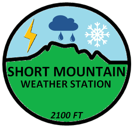
CannonMesonet is a unique network of weather stations that measure weather conditions in Cannon County, TN. Stations are positioned at 3 different general elevations that are similar to the 3 levels in Middle TN: the Central Basin, the Highland Rim, and the Cumberland Plateau. Our Short Mountain weather station is Middle Tennessee's highest weather station and often gives a preview of weather to come to lower elevations and to the Cumberland Plateau. Our weather stations are at the following approximate elevations: Short Mountain- 2,100 feet, K5BWX- 1,210 feet, Midway- 1,115 feet, Cannon County HS- 722 feet, Readyville- 650 feet. More weather stations will hopefully be added in the future. All mesonet stations are of the Davis Instruments brand and are members of CWOP.


Click the station to load data.

bottom of page